With the help of the Trust for Public Land, the Metro Denver Nature Alliance has put together models that analyze access to existing parks and open space. The analysis incorporates a two-step approach:
- determines where there are gaps in public park availability across the landscape, and constructs a demographic profile to identify gaps with the most urgent need for public parkland, and
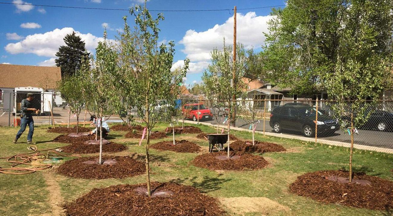
- incorporates natural space opportunities based on land use and cover characteristics, schools, community gardens, and potential for certified backyard wildlife habitat areas.
The two components are combined using an equal weighted sum computation. These maps were created using a weighted overlay analysis based on the following criteria:
- Park Needs
- Proposed Parks and Open Space
- Vacant Lands
- Natural Land Cover
- School Grounds
- Potential for certified backyard wildlife habitat areas
- Community Gardens
