In 2011, the Maryland Department of Natural Resources (DNR) performed an assessment of green infrastructure which identified approximately two million acres of ecologically significant undeveloped land throughout the state in an interconnected network of hubs and corridors. Only about 25% of this land is currently protected from future development.
Maryland’s green infrastructure, which provides essential ecosystem services such as protecting air and water quality, wildlife habitat and biodiversity, flood damage reduction, and carbon sequestration, is under ever increasing pressure from urban and suburban growth. The assessment ranked the components of the green infrastructure network for their relative ecological value and vulnerability to development.
The resulting GreenPrint map displays Targeted Ecological Areas (TEAs), lands and watersheds of high ecological value that have been identified as conservation priorities by DNR. It also displays information about four of Maryland’s most active State operated land conservation programs and offers a way to improve how these programs work together and drive acquisitions to the TEAs. The TEAs were developed in 2008 and then updated in 2011.
Year Published: 2011
State: Maryland
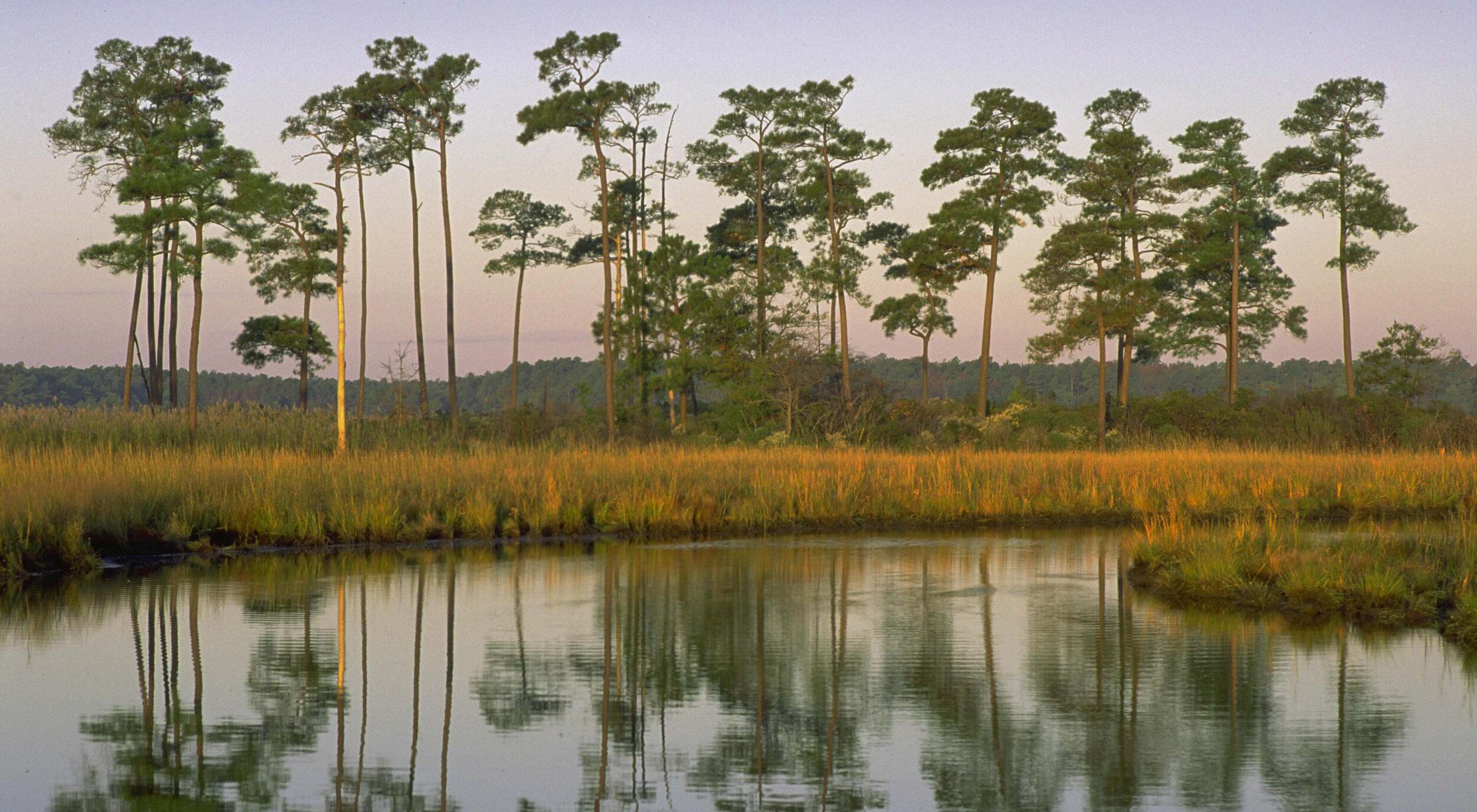
Landscape Context: Coastal, Inland
Housing Density: Urban, Suburban, Rural
Funding Type: Public
Habitat Focus: Forest, Developed, Planted/Cultivated
Organizations Involved:
Maryland Department of Natural Resources
Values:
Water Quality, Open Space/Habitat, Biodiversity
Stakeholder Involvement:
Stakeholders were consulted; the GreenPrint model and resulting maps were peer reviewed by scientists and local government staff.
Planning Process:
DNR staff took maps of their green infrastructure network on the road to have the methodology peer-reviewed by each county government and Baltimore City’s planning and zoning and recreation and parks departments. At each meeting, they used a modeling exercise to explain what they had done and asked the local officials whether the output from the network design model seemed to reflect reality on the ground. In some cases, the local officials provided new information on sites within the identified green infrastructure network that had been developed and therefore were not dominated by natural land cover.
Desired Outcomes:
The GreenPrint program aims to preserve a wide-ranging, interconnected “green infrastructure land network” that, over the long term, provides society with essential ecosystem services. It desires to ensure the continuance of industries such as forestry, agriculture, and fisheries that rely on a clean, healthy environment and abundant natural resources.
What It Accomplished:
Then-Governor Parris Glendening introduced legislation to establish the GreenPrint Program as the funding mechanism (thorugh general obligation bonds) that would allow systematic protection of some of the critical lands identified by the green infrastructure assessment. In addition, many local governments and local land trusts are using the TEAs to inform planning decisions and prioritize their land protection and restoration efforts, and the statewide assessment has spurred several other countywide and multi-state green infrastructure assessments.
Finally, the GreenPrint won an award from the American Planning Association and from Maryland’s Governor for its green infrastructure-based greenways plan.